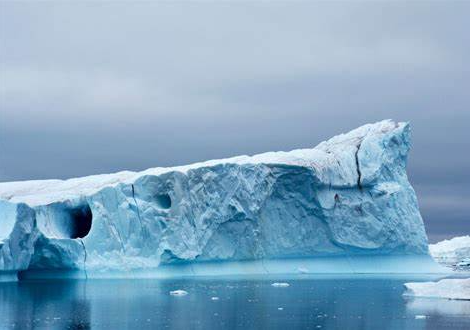
Unprecedented melting of Greenland’s ice sheet triggers massive sediment runoff, exacerbating climate concerns
Satellite imagery from the EU’s Copernicus program has highlighted the alarming intensity of Greenland’s recent heatwave. A striking image reveals huge amounts of sediment pouring into a fjord as ice from the island’s vast ice sheet rapidly melts. Over the course of just three days, northern Greenland saw nearly six billion tonnes of ice melt—a staggering amount of water that, if spread out, would submerge the entire state of West Virginia under a foot of water. The dramatic event underscores the escalating impact of climate change, as rapid ice loss from Greenland has the potential to significantly affect global sea levels.

